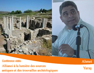
Publications récentes

18 Mai 2009 / Cartothèque de l’IFEA

18 Mai 2009 / Cartothèque de l’IFEA – la carte de la semaine : Plan directeur d’Istanbul partie Européenne de 1937 par H. Prost.Henri Prost, né à Paris le 25 février 1874 et mort le 16 juillet 1959, est un architecte urbaniste français qui a travaillé sur l’urbanisme d’Istanbul.

Lire la suite »

11 Mai 2009 / Cartothèque de l’IFEA

11 Mai 2009 / Cartothèque de l’IFEA – la carte de la semaine : Representation/vue aérienne de la mer de Marmara et des environs d’Istanbul datant de 1876, publiéedans un journal. La position des deux détroits sont bien visible.

Lire la suite »

06052009 – Sevgi Parlak, Scott Redford : New Thoughts on the Fortifications of Alanya in the 12th and 13th Centuries

Séminaires : Fortifier un lieu, une ville, un territoire: Exemples anatoliens et des régions voisines Responsables: Thomas Lorain et Deniz Beyazit En collaboration avec l’Orient-Institut Istanbul Mercredi 06 Mai 2009, 18h00: Anatolie   Sevgi Parlak (Université d’Istanbul) Ortaçağ’da Anadolu Kalelerinde Giriş Üniteleri   Prof. Dr. Scott Redford (Directeur du RCAC, Université Koç) New Thoughts on the Fortifications of Alanya in the 12th and 13th Centuries

Lire la suite »

4 Mai 2009 / Cartothèque de l’IFEA

4 Mai 2009 / Cartothèque de l’IFEA – la carte de la semaine : Très belle carte du Bosphore issue de l’atlas de stanford de Londres version folio de 1896.« The Bosphorus and Constantinople » and « The Dardanelles and the Troad »;  issued London, 1896. An enormous folio sheet map of The Dardanelles and the Troad on the left and The Bosphorus and Constantinople on the right from the very scarce 1896 revised and enlarged folio edition of Stanford’s monumental « London Atlas of Universal Geography. » Originally produced in honor of the Queens Jubilee in 1887, this second issue some 9 years later completely revised all the maps, thus creating this unique series which are found nowhere else. Beautifully lithographed with original hand color,

Lire la suite »